Two day National Conference on Geospatial Technologies and Roadmap to Viksit Bharat 2047
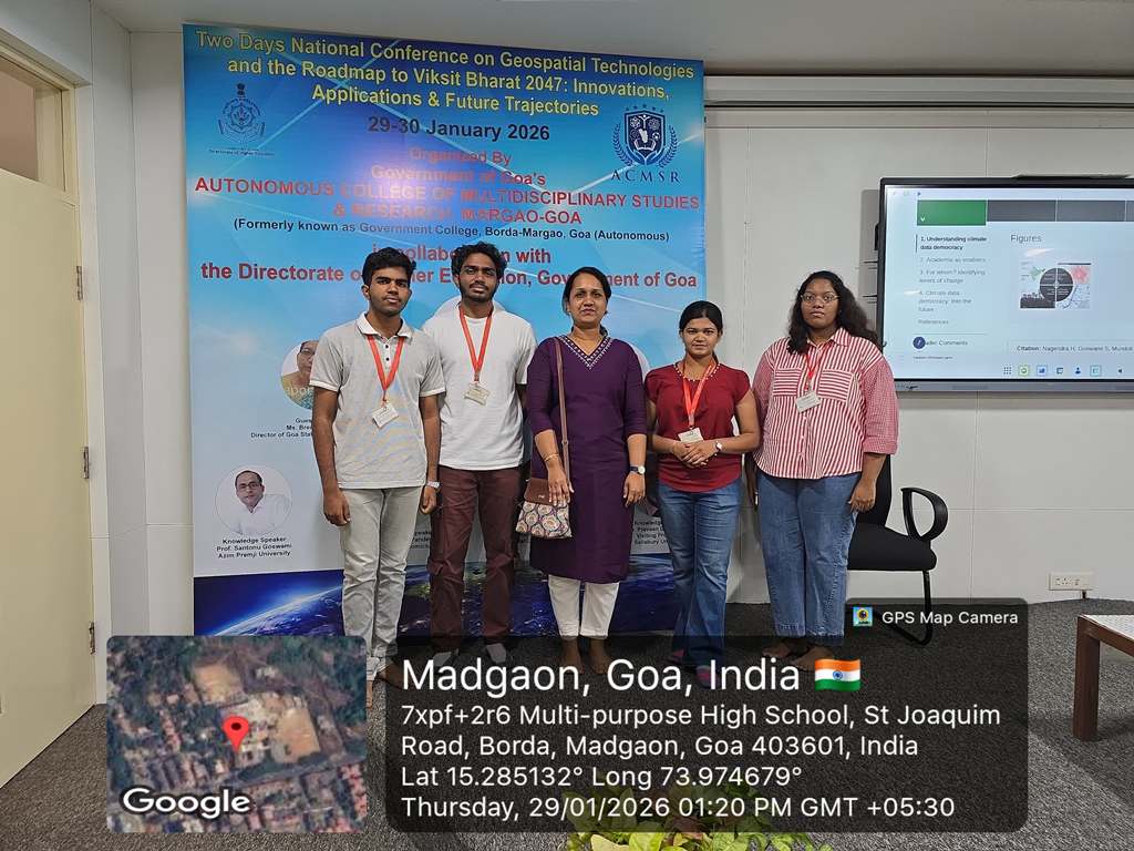
A two-day National Conference on Geospatial Technologies and the Roadmap to Viksit Bharat 2047: Innovations, Applications and Future Trajectories was held on 29th and 30th January 2026 at the Autonomous College of Multidisciplinary Studies and Research, Margao, Government of Goa.
The conference commenced with registration followed by the inaugural programme. The keynote address was delivered by Major General B. Nagarajan, Former Additional Surveyor General of India and Professor at IIT Kanpur, who highlighted the critical role of geospatial technologies in realizing the vision of Viksit Bharat 2047. Prof. B. W. Pandey, Professor at Delhi School of Economics, spoke on geospatial analysis and the investigation of geoecological vulnerabilities in high-altitude regions of the Indian Himalayas. Prof. Santonu Goswami, Professor at Azim Premji University, delivered an insightful lecture on how geospatial science contributes to national growth. The first day also featured several knowledge sessions focusing on geospatial analysis in the Himalayan region, the role of geospatial science in national development, and applications of GIS and remote sensing in environmental and natural resource management.
The second day comprised thematic knowledge sessions and technical paper presentations. The discussions centered on climate change adaptation, disaster risk reduction, sustainable development planning, urban and regional infrastructure development, artificial intelligence in geoinformatics, and emerging geospatial technologies. Dr. Rajiv Chaturvedi from BITS Pilani, Goa Campus, spoke on the applications of geospatial technologies in climate change adaptation in Goa. Dr. Praveen Saptarshi, Visiting Professor at Salisbury University, delivered a lecture on sustainable development planning and the role of geospatial technologies. Students and researchers from reputed institutions presented their research findings and shared insights across multiple parallel technical sessions.
The conference concluded with a valedictory programme. Overall, the event served as a significant platform for academicians, researchers, and students to explore the expanding applications of geospatial technologies in national development and strategic future planning.


 Visit Today : 653